
3D Pro
Overview
Textron Systems' 3D Pro software is an add-on module for RemoteView™ that allows analysts to incorporate imagery in near real-time to create rich, 3D scenes.
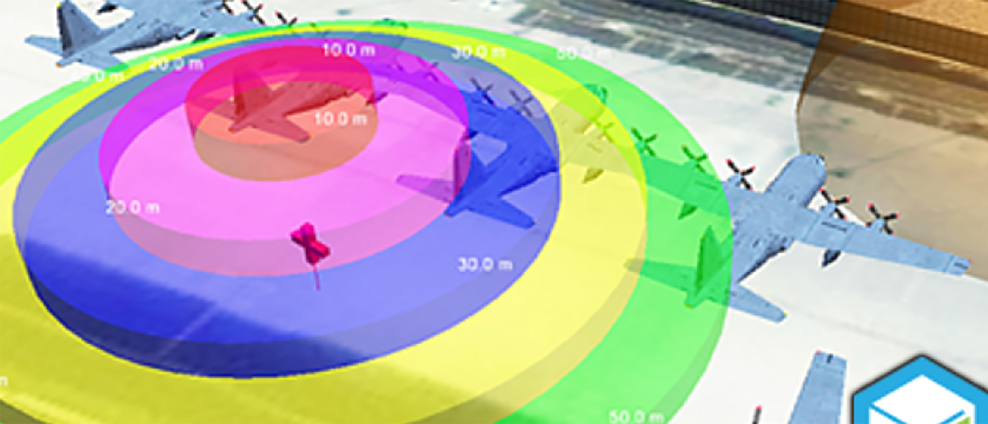
Create mission scenarios by quickly generating buildings, utility lines, vegetation and other features to project in a 3D terrain model from the latest satellite or tactical imagery. Decision makers can visualize their areas of operation from multiple viewpoints and gain a realistic perspective of upcoming or past missions.
- Supports all of the standard data formats used by geospatial intelligence analysts
- Pre-built 3D models and textures make 3D scenes match the real world
- Create a series of pre-programmed viewpoints to facilitate mission planning and rehearsal
- Visualize locations using real-world imagery and model re-creations
- Disseminate 3D scenes in a variety of formats including Google Earth™, 3D PDF and PowerPoint® (All third party trademarks are property of their respective owners.)
Specifications
| Processor | Minimum: 4 Cores Recommended: 8 Cores |
| Operating Systems | Microsoft Windows 10 64-Bit Microsoft Windows 11 64-Bit |
| RAM | Minimum: 8 GB Recommended: 32 GB |
| Graphics Card |
Professional Grade (Recommended):
Consumer Grade:
|
| Monitor | 1600 x 1200 minimum resolution |
| .NET Framework | Microsoft .NET Framework 4.5 or greater |
| Software | Adobe® Reader®, Microsoft PowerPoint™, KML Earth Viewer (Google Earth™, ArcGIS® Earth, or other) |
Adobe and Reader are either registered trademarks or trademarks of Adobe Systems Incorporated in the United States and/or other countries
GeForce, NVIDIA and Quadro are registered trademarks of NVIDIA
Linux is the registered trademark of Linus Torvalds in the United States and other countries
PowerPoint and Windows are either registered trademarks or trademarks of Microsoft Corporation in the United States and/or other countries
