Data Analysis & Exploitation
Data Analysis Exploitation
When lives are at stake and critical decisions need to be made, it's imperative you get the information you need quickly and reliably. We have the tools you need to stay informed, with advanced analytical, visualization and data management technologies. And we further support those who imagine, manipulate and exploit the electromagnetic spectrum by providing training aids and confidence testers.
Assess
Plan for missions with confidence, using our geospatial analysis and command-and-control software to assess situations and gain a baseline understanding of areas of interest. From imagery analysis to precision positioning to multi-vehicle collaboration, our systems provide decision makers the information they need to plan and execute missions.
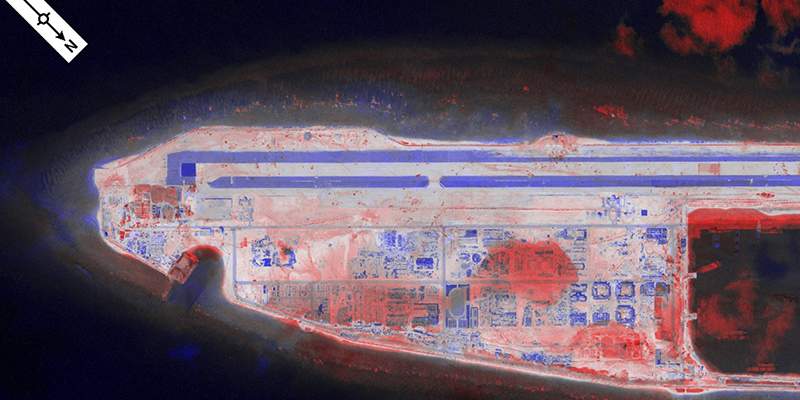
RemoteView™ PRO
- Image Visualization and Exploitation
- Precise Mensuration and Analysis
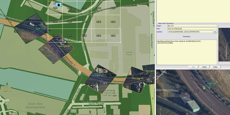
Optice™
- Real-time visualization and exploitation tool
- One tool for operational support functions
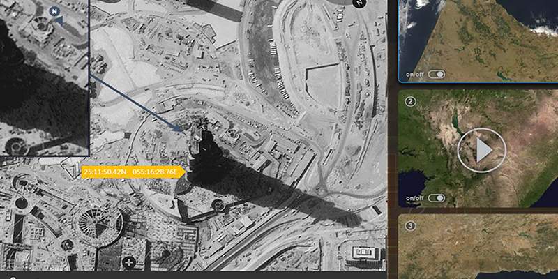
SeeGEO®
- Discover, collaborate, exploit and disseminate data
- Enrich FMV data through collaboration
Model & Test
Our innovative test equipment and simulation systems prepare your team for a wide range of missions. Designed to increase accuracy and decrease reliance on costly and time-consuming testing, our robust simulated environments help analysts and operators assess system performance and evaluate countermeasures.
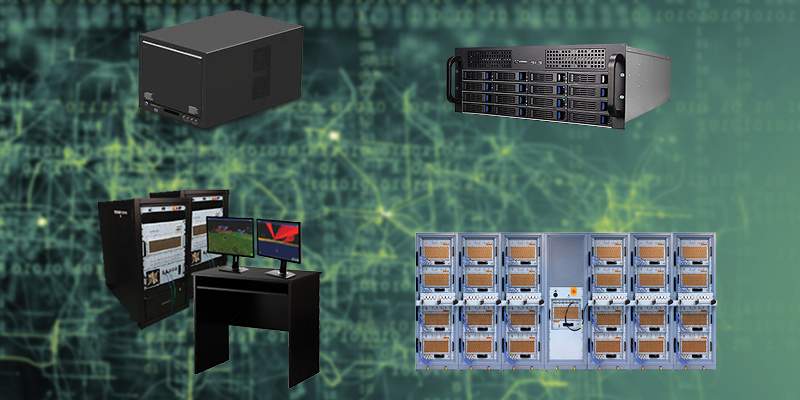
A2PATS® Family of Products
- A2PATS®, A2DRI™, A2DSG™, A2EOSTIM
- Open architecture modular design 500 kHz - 40 GHz
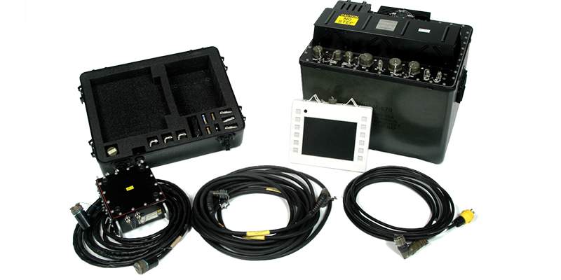
JSECST™
- Common end-to-end aircraft systems tester
- Fully automated flight line tester
Analyze
Collected data from missions can be quickly formatted and analyzed with our industry-leading data analysis tools. Knowing this data can be critical to planning and implementing future mission success, our software delivers actionable insights that drive informed decisions. With the ability to rapidly search, discover, exploit, analyze and collaborate, users are able to create robust, complete pictures of their missions.

SeeGEO®
- Discover, collaborate, exploit and disseminate data
- Enrich FMV data through collaboration

RemoteView™ PRO
- Image Visualization and Exploitation
- Precise Mensuration and Analysis

Optice™
- Real-time visualization and exploitation tool
- One tool for operational support functions

SeeGEO®
- Discover, collaborate, exploit and disseminate data
- Enrich FMV data through collaboration